Sales and maintenance of radio and navigation equipment
| Ship-related | Radio communication equipment, Satellite communication equipment, Radar, Electronic navigation system, Fish finder, Scanning sonar, Automatic steering system, Gyro compass |
|---|---|
| Information communication related | Multiplex radio apparatus, End station, Computer equipment, Various network construction |
| Manufacturers | JRC NIHON MUSEN, FURUNO ELECTRIC, TOKYO KEIKI, etc |
| National license holders |
|
Handling Equipment
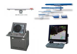 Navigational Radar
Equipment which captures objects on the sea, such as another vessel and an island, with the use of a radio wave of a microwave, and is indispensable to safe navigation at night or in a dense fog
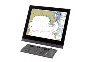 Electronic Chart Display and Information System(ECDIS)
Equipment for displaying an electronic chart defined by IMO, which has various functions including establishment of navigation routes and display of various navigation information
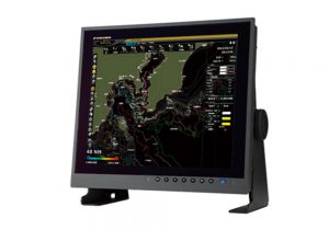 Plotter Device
Equipment for overlaying a variety of navigation information on simple chart data, in linkage with electronic positioning equipment (such as a radar and GPS)
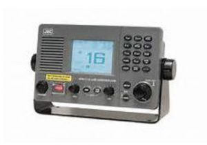 VHF Radiotelephone
Radio equipment for communicating in the frequency band of ultra-short waves (VHF band), which is used for communication at a relatively short distance, and for distress, urgent and safety signals as well.
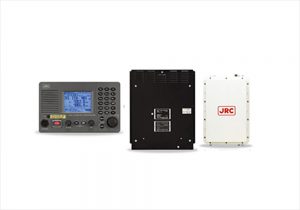 MF/HF Radio Equipment
Radio equipment for communicating in the frequency band of short waves (MF/HF band), which is used for communication over a long distance, and for distress, urgent and safety signals as well.
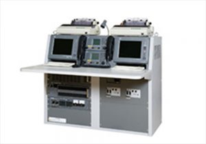 GMDSS Console
Communication consoles integrally incorporating GMDSS-related equipment, including MF/HF radio equipment, a VHF radiotelephone, and an Inmarsat C system.
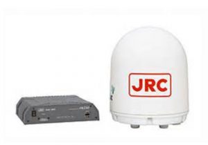 Inmarsat C system
Equipment which enables communication with the land or another ship with the use of the communication satellite.
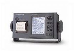 Navigation Telex Receiver
Equipment for automatically receiving the maritime safety information transmitted by the coastal station to ships navigating within 300 nautical miles of the coast by narrow band direct printing telegraph.
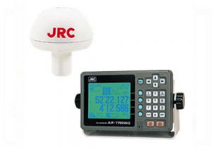 GPS
GPS
Equipment for correctly measuring the location of the ship on the sea.
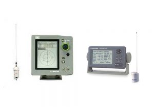 Automatic Identification System(AIS)
Equipment for transmitting/receiving information on ships going on the sea (such as the name, location, course and speed of the ships), as well as for correctly capturing information of other ships.
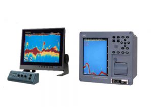 Fish finder
Equipment for displaying on the screen the situations of underwater fish schools and the seabed, with the use of sonic waves.
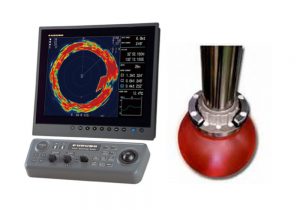 Sonar
Sonar
Equipment for detecting fish schools, freely displaying the situation in front, or on the right or left of your ship, or diagonally or in any other direction you want to search for fish.
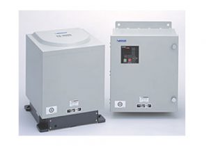 Gyro compass
Equipment for constantly pointing to the north with a high precision, with a north seeking device and a damping device attached to a gyroscopes rotating at high speed.
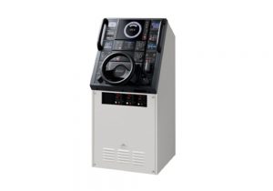 Autopilot
Equipment which is connected with a bow azimuth sensor such as a gyro-compass and automatically retains the nose of your ship in the direction of the determined course while reducing operation of the steering system to a minimum.
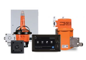 Voyage Data Recorder(VDR)
Equipment for recording data on ship steering and other situations in the ship with the aim to find the cause for a maritime accident by looking into human errors during the voyage, and to prevent maritime accidents in future.
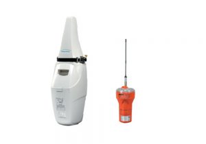 Emergency Position Indicating Radio Beacon
Shipboard distress alert equipment that automatically sends a distress signal in the event of a shipwreck.

